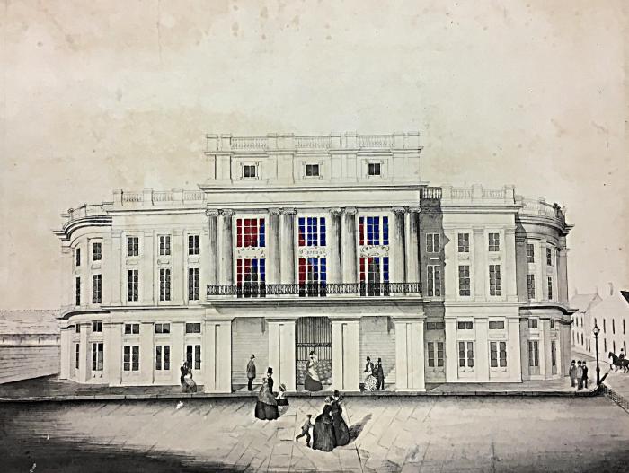
While TUSC preserves materials related to the regional built environment throughout its holdings, the Southeastern Architectural Archive (SEAA) is its dedicated collection for the history of architecture in Louisiana and New Orleans.
Founded in 1979 and with holdings spanning nearly 200 years, SEAA collects professional records documenting Louisiana, metropolitan New Orleans, and selected parts of the Gulf South. SEAA’s holdings include work by James Gallier, Henry Howard, and other architects who shaped the antebellum city; James Freret and Thomas Sully, from the latter 19th century; and modernist work by Curtis and Davis, Freret and Wolf, James Lamantia, and other New Orleans architects who changed the scale and style of architecture in the city after the Second World War.
SEAA collections are regularly consulted by students, faculty, architects, engineers, homeowners, historians, and preservationists. SEAA also works closely with the Tulane School of Architecture’s Preservation Studies program.

Selected noteworthy holdings include:
- The Sylvester Labrot, Jr. Collection. Spanning the 1820s to the 1890s, this collection, assembled by collector Sylvester Labrot, Jr., preserves the largest existing number of drawings by New Orleans architects James Gallier, his son James Gallier, Jr., and their various partners. The collection also includes drawings by other 19th-century New Orleans architects such as James H. Dakin, W. L. Atkinson, Albert Diettel, and others.
- Mid-20th century photographs by noted New Orleans architectural photographer Frank Lotz Miller. Collections containing significant holdings of Miller’s work include the William R. Burk Office Records; the James R. Lamantia, Jr. Office Records and Collection; and the Curtis and Davis Project Photographs.
- Plans and records from one of the South's largest funerary monument designers, the Albert Weiblen Marble and Granite Company.
- New Orleans fire insurance maps by J.A. Celles; August B. Langermann; John F. Braun; E. Robinson and R.H. Pidgeon; and the Sanborn Map Company. The Sanborn map holdings include the only known copies of their first maps for New Orleans from 1876, which were conserved and digitized in 2017 and added to the Tulane University Digital Library. You can learn more about the 1876 Sanborn maps in this video.